Subdivision takeoffs & estimating
Understand the quantities before work reaches site.
Drawing-based takeoffs and surface comparisons for subdivision work, presented with clear assumptions and an agreed project scope.
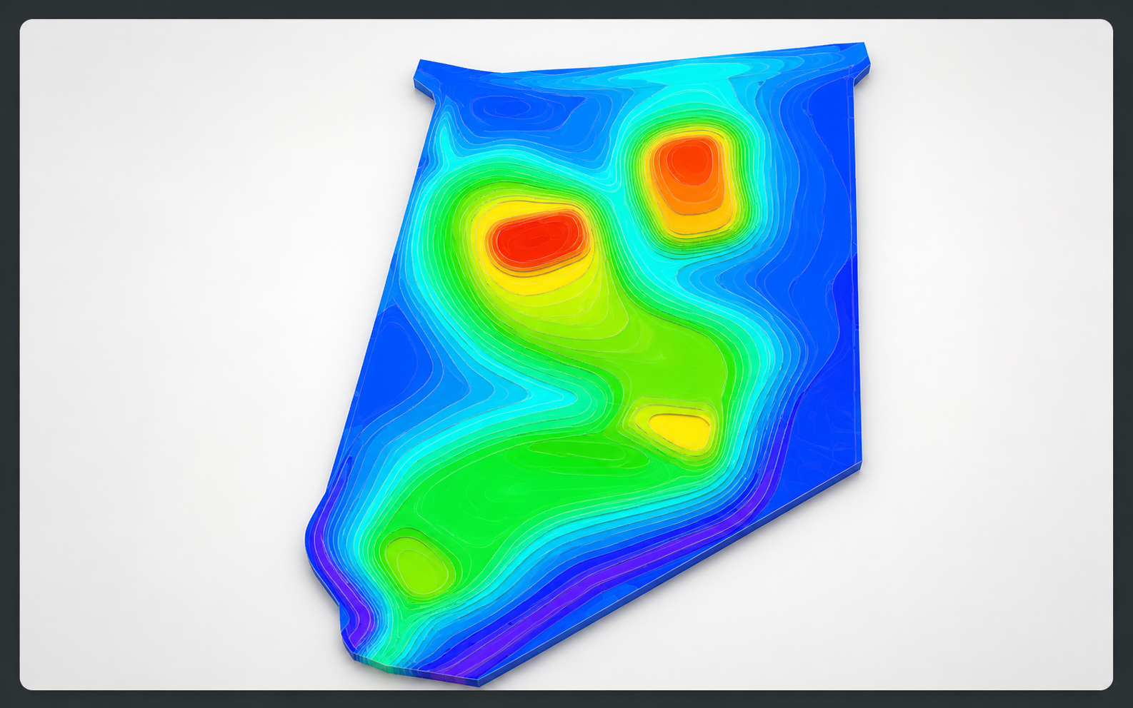
Service overview
Estimating support grounded in the supplied drawings.
Subdivision takeoffs can help contractors and estimators understand earthworks quantities and other agreed drawing-based items before pricing or planning a job.
Where suitable existing and proposed surface information is available, we can compare surfaces and prepare agreed area or volume breakdowns. Queries and gaps in the source information are identified during the review.
What to send
The information that supports a reliable scope.
Send the current tender or project information and describe the quantities you need reviewed.
Current drawings
The relevant subdivision plans, schedules and revision information.
Surface data
Available existing and proposed surface or level information for comparisons.
Measurement scope
The areas, stages and items that should be included or separated.
Pricing context
The project location, required date and any assumptions already being used.
Our process
A traceable path from drawings to quantities.
The scope, source information and assumptions stay visible throughout the work.
Review inputs
We check the drawings, data, revisions and requested measurement limits.
Confirm scope
We agree the inclusions, exclusions, breakdowns and key assumptions.
Measure and compare
The agreed items and available surfaces are assessed against the defined limits.
Summarise
You receive the agreed quantity information with notes and identified queries.
Agreed deliverables
Quantity information your estimate can work from.
Depending on the available files and agreed scope, the delivery package may include:
- Drawing-based quantity schedules for the agreed subdivision scope
- Cut-and-fill surface comparisons where the supplied data supports them
- Area or volume breakdowns organised by agreed limits or stages
- Notes covering source information, assumptions, exclusions and queries
Frequently asked questions
Subdivision takeoff FAQs.
What can be included in a subdivision takeoff?
The scope can include earthworks quantities and other agreed drawing-based items, organised around defined areas, limits or project stages.
Can you compare existing and proposed surfaces?
Yes, where suitable surface or level information is available. The agreed output may include cut-and-fill comparisons and area or volume breakdowns.
What information should I provide?
Send the relevant plans, schedules and revisions, available surface data, the areas or items to be measured, and any assumptions already being used.
How are assumptions and exclusions recorded?
The issued quantity information can include notes covering the source files, agreed assumptions, exclusions and identified queries.
Does a takeoff replace reviewing the full tender documentation?
No. The results reflect the agreed drawings, data, limits and assumptions and should be reviewed alongside the complete tender and project documentation.
Related services
Move from estimating into coordinated delivery.
Pricing a subdivision project?
Send the project location, required date and available drawings or surfaces. We will review the information and confirm a practical takeoff scope.