Civil 3D modelling & AutoCAD
Turn complex plans into clearer civil information.
Practical Civil 3D modelling, AutoCAD drafting and drawing-review support built around the information your estimator, surveyor or site team needs.
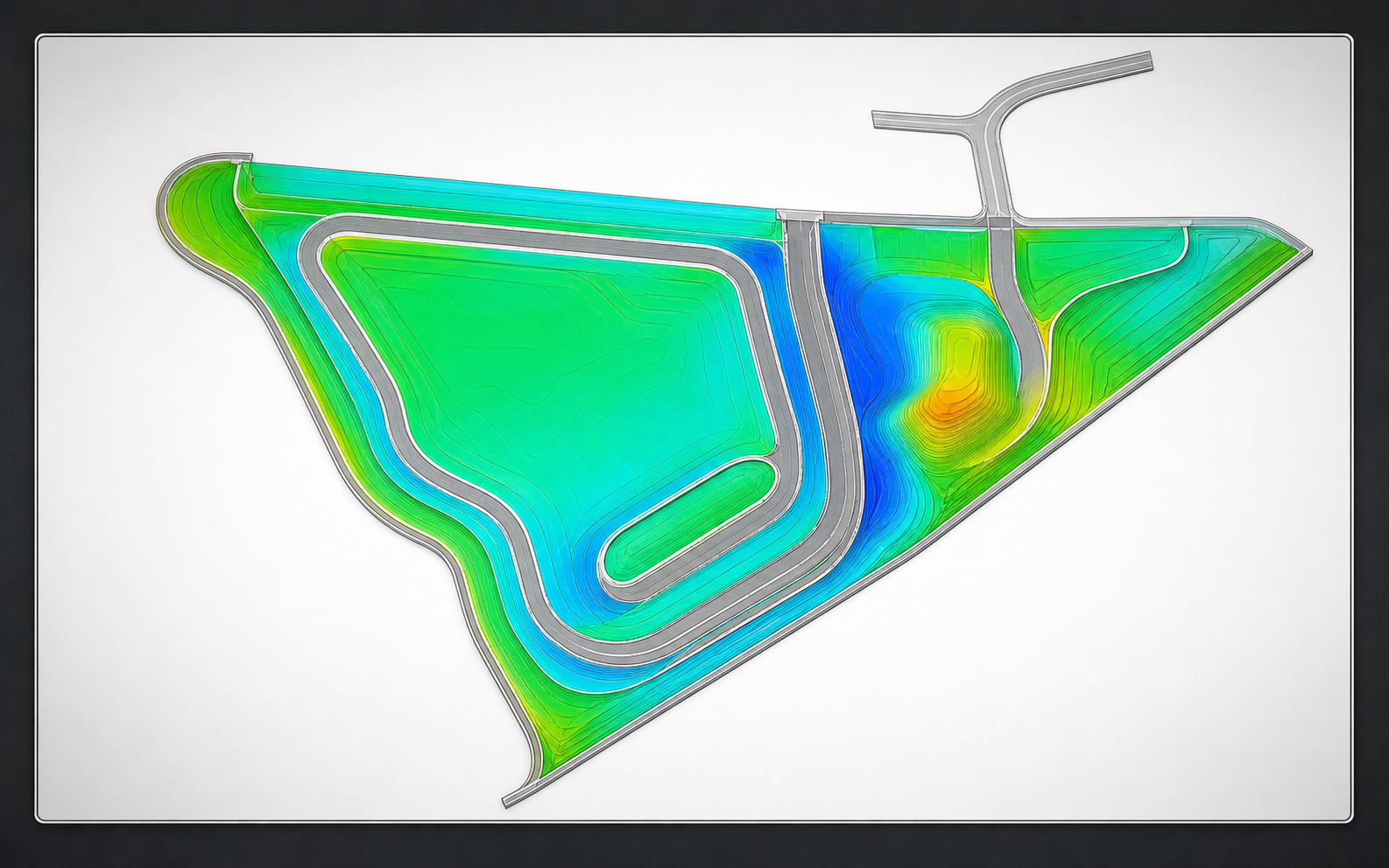
Service overview
Office support with the end use in mind.
We use Civil 3D and AutoCAD to help organise and communicate civil project information, including road, drainage, earthworks and survey-related data from supplied drawings and files.
The work can be a focused model or drafting task, or a review before drawings are sent to a survey company. Where supplied information conflicts, the issue is raised for clarification.
What to send
The information that helps us define the right task.
Send what is available and describe the outcome you need. We will identify any missing inputs that affect the scope.
Current drawings
The latest relevant plans, markups and revision information.
Project data
Available survey, surface, level or other supporting digital information.
Required outcome
The model, drawing update, review or site information you need prepared.
Location and date
The project location, programme context and date the work is required.
Our process
From supplied information to a checked deliverable.
The workflow stays focused on the agreed outcome and the information available.
Review
We examine the files, revision status, requested outcome and known constraints.
Scope
We confirm inclusions, exclusions, required outputs and key assumptions.
Model or draft
The agreed Civil 3D or AutoCAD work is completed and internally reviewed.
Deliver
Files are issued with relevant notes, queries and supporting information.
Agreed deliverables
Useful information, clearly packaged.
Depending on the supplied files and agreed scope, the delivery package may include:
- Civil 3D surfaces and agreed model geometry
- AutoCAD drafting updates, markups or coordinated linework
- Drawing-review queries highlighting identified gaps or inconsistencies
- Issue notes recording source files, assumptions and agreed limitations
Frequently asked questions
Civil 3D and AutoCAD FAQs.
What Civil 3D and AutoCAD work can you assist with?
The service can cover focused modelling, drafting updates, coordinated linework and drawing review using supplied road, drainage, earthworks or survey-related information.
What files should I send?
Send the current drawings, markups and revisions, plus any available survey, surface, level or other supporting digital data. Include the required outcome, location and date.
Can you review drawings before they are sent to a survey company?
Yes. Drawing-review support can identify gaps or inconsistencies before information is issued for field use.
What deliverables may be provided?
Depending on the agreed scope, deliverables may include Civil 3D surfaces, model geometry, AutoCAD updates, coordinated linework, review queries and issue notes.
Does this service include design approval or certification?
No. The service supports modelling, drafting and coordination; approvals, certification and specialist design responsibility remain with the relevant project professionals.
Related services
Connect modelling with estimating and delivery.
Have drawings or site data ready to review?
Send the project location, required date and available files. We will review the information and confirm a practical scope.