Machine-control models and GPS construction data
Machine-control models built for confident site delivery.
Remote model and data preparation for earthworks, roads and grading. We turn your supplied drawings, levels and surfaces into an agreed package for the intended machine-control or GPS construction workflow.
Service overview
A practical bridge from design drawings to machinery.
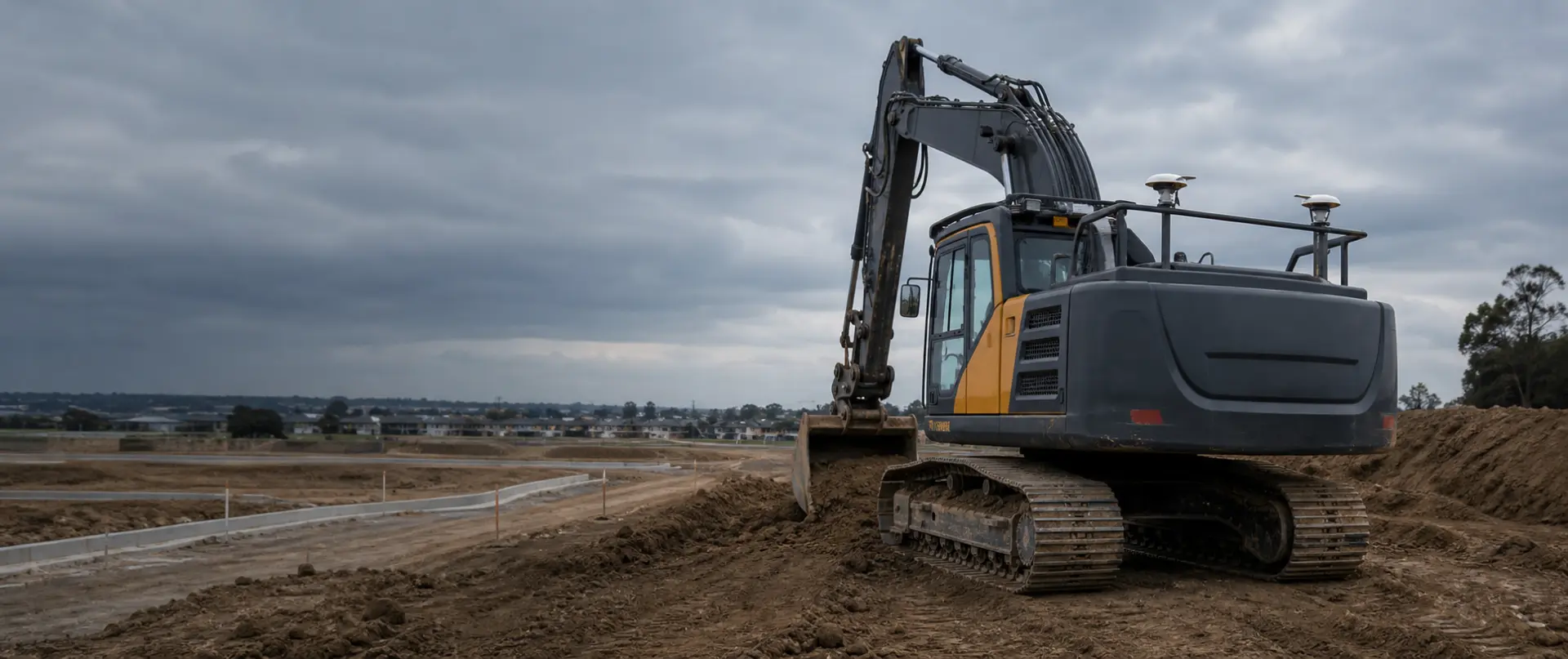
Machine-control modelling converts relevant project geometry and levels into an agreed digital package for civil construction workflows. It can support roadworks, earthworks and other defined site tasks where clear 3D information is required.
Every job is scoped around the supplied design, the limits of work and the intended use. If information is unclear or inconsistent, it is identified for review rather than quietly assumed.
See it built
How we build machine-control files, step by step.
Short videos showing how each model comes together from the drawings, and the checks we do along the way. Illustrative examples.
Equipment and file requirements
Data prepared around your equipment and task.
Tell us the machine-control platform and construction work the files need to support. Include Trimble or Topcon details where relevant, the controller or software version and the required export specification. We confirm the proposed outputs before work starts.
Include the current design revision, coordinate system and datum, units, model limits and target date where known. If your design changes, identify the new revision and affected area so the impact on the model, outputs and timing can be reviewed.
See what detailed preparation includes in our GPS drainage and road-boxing data guide.
Drainage, sewer and road boxing
More detail for the work in front of the machine.
A useful GPS file can show the features that help the crew interpret the supplied design. We agree which details are needed for your package before preparation begins.
Pipe and trench information
Drainage and sewer data can include pipe size and type labels, together with trench limits based on the pipe and supplied project requirements. This gives operators a clearer reference for the intended excavation width.
Pit references
Pit excavation limits and levels can be included alongside jump-up references from pit centres. The agreed files distinguish the pit reference from the excavation information the crew needs.
Road-boxing limits
Boxing linework can account for the relevant kerb size and type in the supplied details. Defined limits help the operator see the intended extent of the road excavation.
Design checks
We compare supplied earthworks surfaces with design drawings, levels and falls, and raise discrepancies for clarification. Conflicting information needs a decision from the responsible project contact.
What to send
The information that helps us quote accurately.
Send what you have. We will identify any missing information that affects the proposed scope. For the full list, see what to send for a machine control model.
Design drawings
The current issued plans and relevant revisions for the area to be modelled.
Surface information
Available existing and proposed levels, contours or digital surface data.
Work limits
A clear description of the construction area, stages and required model extent.
Intended use
The machinery or site workflow the model needs to support and the required date.
Our process
Clear decisions at each stage.
A straightforward workflow keeps the model aligned with the supplied information and the site requirement.
Review
We check the supplied drawings, data, revision status and model limits.
Confirm
We define the intended use, inclusions, assumptions and agreed outputs.
Build and check
The model is prepared and reviewed against the agreed source information.
Issue
You receive the agreed files together with relevant notes and assumptions.
Agreed deliverables
A model package shaped around its end use.
Depending on the available source information and agreed scope, the delivery package may include:
- 3D surfaces and relevant linework for the defined work area
- Clear model limits, layer organisation and staged content where required
- Export files agreed before the job begins
- Notes covering source information, assumptions and identified queries
Frequently asked questions
Machine-control model FAQs.
What information is needed to prepare a machine-control model?
Send the current design drawings and revisions, available surface or level information, the work limits or stages, and the intended machinery or site workflow.
What can the model package include?
Depending on the source information and agreed scope, it may include 3D surfaces, relevant linework, organised or staged content, agreed export files, and notes on assumptions or queries.
What types of civil work can the models support?
Machine-control models can support roadworks, earthworks and other defined site tasks that require coordinated 3D project information.
How are unclear or inconsistent design inputs handled?
Questions or inconsistencies identified in the supplied information are raised for review rather than being quietly assumed.
Which file formats will be supplied?
Output files are agreed for each job. Send your platform, controller or software version and required format with the project brief. We will confirm the deliverables and any input gaps before starting.
Related services
Support the model before and after delivery.
Have drawings ready for a machine-control model?
Send the project location, required date and available files. We will review the information and confirm a practical scope.